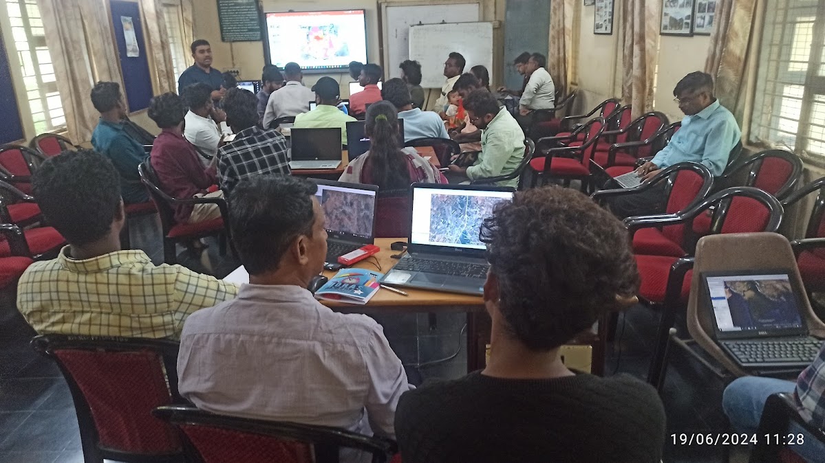
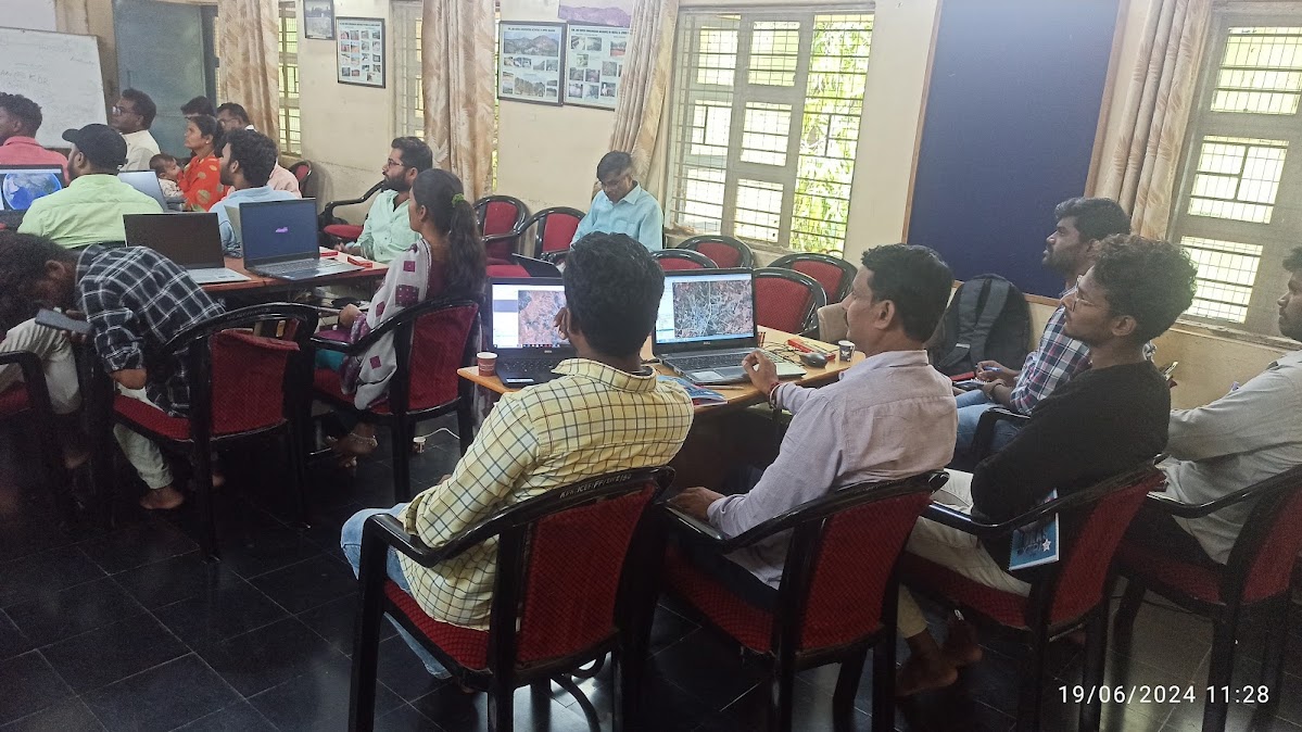
A four-day training on QGIS and the digitization of mapping was conducted from 19th to 22nd June 2024 at the Myrada Project Office, Kadiri. The training aimed to build technical skills in digital mapping, spatial data handling, and the use of QGIS tools for project planning and monitoring. Participants learned to create, analyze, and interpret geospatial data relevant to their field work. Hands-on sessions and real-time demonstrations enriched the learning process. The training empowered field staff with advanced mapping capabilities for more effective planning and resource management.